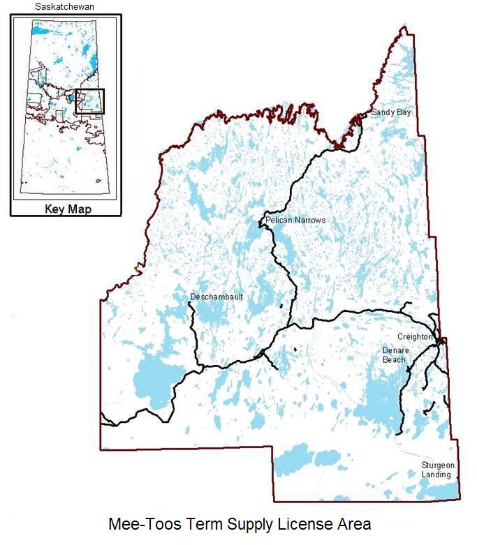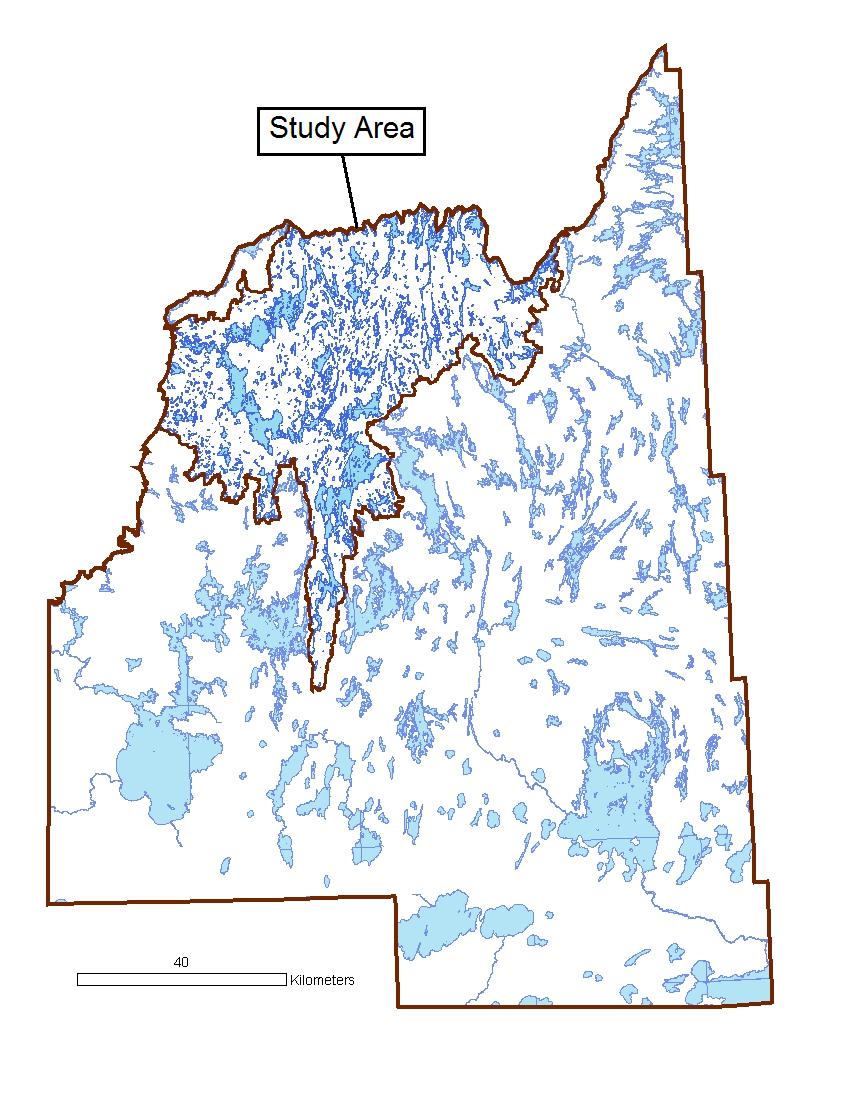
The study area is located in the Mee-Toos Term Supply License (TSL) area of east-central Saskatchewan. The Mee-Toos TSL is
a 1.5 million hectare area-based tenure held by the Peter Ballantyne Cree Nation. Up until the signing of the TSL in 2004,
no licensee has held forest management rights for the area. Volume-based quotas have been held by various organizations
since the 1970s but a revlatively minor amount of timber extraction has occured compared to the estimated annual allowable
harvest. The bulk of the harvesting has historically been concentrated in the southend of the license area, often in close
proximity to the major thoroughfares.
The focus of the study was three contiguous drainage areas located in the north half of the Mee-Toos Term Supply License
area. These three drainage areas fall within two seperate watersheds in the study area. The 273,296 hectare study area could be roughly
divided in two with the northeastern half draining into the Churchill River system while the southwestern
half drains into the Saskatchewan River system. Virtually no timber harvesting nor any other major resource extraction
activities has occured in the three drainage areas chosen.

The study area falls completely within the Churchill River Upland Ecoregion of the Boreal Shield Ecozone. Although the
topography of the ecoregion is normally gently rolling or relatively flat at the broad landscape level, local relief
can be quite extreme.
A large amount of lakes and streams are characteristic of the area and patches of exposed
bedrock intermixed with clay and slit deposits are common (Acton et al. 1998).
The major forest types in the region are dominated by black spruce and jack pine with white spruce, trembling aspen and
white birch (Betula papyrifera Marsh.) also commonly present but in lesser abundance.

