UofA
GIS Day, Tue Nov 12th, 2013
GIS
Day is a global event that is part
of the National Geographic Society's Geography Awareness Week held
in November. The
official date was on the 20th, but we celebrated on the 12th (because
there were no classes).
Our annual celebration
in 2013 was UofA's 10th event!
Click
here for the 2013
program.
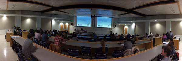
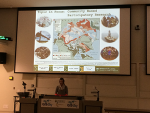
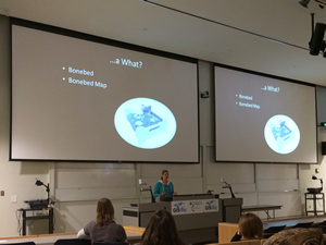
There were 8
fabulous talks (including two from undergraduate
research - a first time for UofA GIS Day!):
-
-
Kerri
Krawchuk, Biological Sciences, Wildlife - Grizzly
Bears
-
-
-
Zelalem
Mekonnen, Renewable Resources, Ecosystem Productivity
-
Jodi
Berg, Biological Sciences, Wildlife - Elk
-
-
We had over
80 students/staff from 18 different departments:
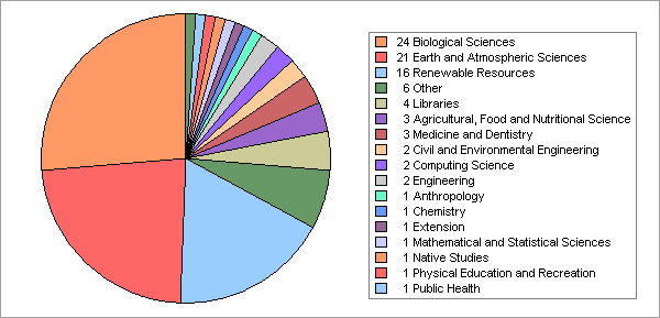
Note:
The above graph was created using ArcGIS Desktop software. The commands
used were: add
the XLS table file, Export
Table, Summary
Statistics, Create
Graph, Export
Graph. See the associated help links for refining the graph properties.
Also, for
anyone interested in a reminder on the tools used for creating the
regular sampling grid demonstrated while picking the door prize winners
(or more practical use in field work), the commands used were: Add
Data from ArcGIS Online (or use your own georeferenced data!),
Zoom
In to study area, add
a rectangle graphic, Convert
Graphics to Features, Create
Fishnet, Add
Join, Create
Random Points, Select
By Location. Pay attention to the optional parameters - results
will vary!
Photo
credits to Larry Laliberté
HOME
|